January 20, 2022
Mapping Voting Locations with Google Maps
Download our guide:
Creating Google Maps of your vote centers, early voting sites and/or ballot drop-off locations is a best practice for election officials. It is an excellent standard to provide an interactive, at-a-glance and convenient web-based tool that voters can use to plan their trip to cast a ballot.
By creating and sharing a Google Map of your locations, instead of just a static map (.pdf) or a long list of locations, your voters can engage with the map, zoom in and out, click on a location that interests them and obtain dates of service, hours and an address. Moreover, voters can also generate walking, driving, public transportation and biking directions directly in the map.
Once you have created your first map, you will find that it’s easy to create a new map for various needs and elections. Your maps will be hosted by Google, but managed and edited by you.
You can use Google Maps in a variety of ways.
- Embed the map on your elections website on your ‘Voting Locations’ or ‘Where to Vote’ webpage. Then, actively promote the link for this webpage, and watch your visits rise!
- Proactively share the link on social media, perhaps with a screen capture of the map as your image or graphic.
- Send the link to candidates, issue committees and community partners, so that they can help to educate voters. Or better yet, share the ‘embed code’ with any other community partners who are willing to embed the map on their websites for voter information. (Note: They will not be able to edit the map; they will simply have the necessary code for the Google map to appear on their website.)
- Target a neighborhood or jurisdiction. Zoom in on your Google Map and take a screenshot of a neighborhood. Post the image on social media with the message, such as “Hey [Neighborhood] voters, did you know that there are 5 drop boxes in your neighborhood? They are open 10/26-11/3. Find them all at [link].”
- Call out the ease of access on popular public transportation routes. Take screenshots to show proximity to bus, subway, and light rail stops.
Similar resources:
Election Management
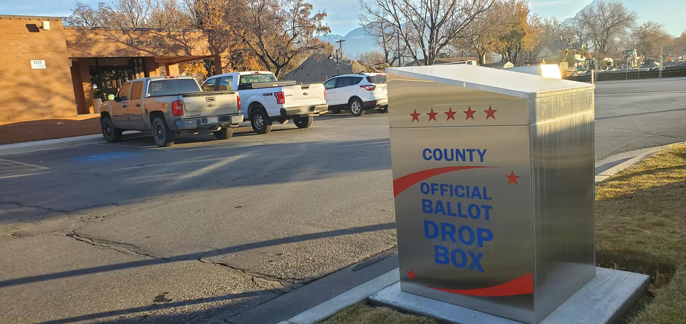
Ballot Drop Box Implementation
Ballot drop boxes offer a secure, convenient alternative for voters to cast their completed mail ballots. They save voters money in jurisdictions where return postage is not prepaid, and they can reduce costs for election authorities that pay postage.
Jun 3, 2026

Election Management
Election Management Calendar
This election management calendar guide and spreadsheet (available for download) can serve as a jump-starter for newer election officials who may be starting from scratch and without institutional memory.
Oct 19, 2022
Election Management
Secure HQ Checklist
Facility preparation is a critical component of security and continuity of operations planning. Some simple preparation will help establish order and reinforce the impression that the operation is under control, which itself deters unruliness.
Oct 21, 2022